Dates: January 23-25, 2018 | Register here
Prices: starting from USD 299,-
Location: Redlands, the United States
ESRI Geodesign Summit 2018
The Geodesign Summit is an annual gathering of professionals interested in using geospatial technologies to arrive at the best and most sustainable design solutions.
The two-day summit focuses on a diverse set of spatial technologies that take a collaborative, systems-based approach to planning, improving outcomes while streamlining common workflows.
The overall goal of the Geodesign Summit is to help people find innovative solutions to the most pressing challenges of the day by fusing design and planning processes with geospatial technologies.
Resilient by Design
It is becoming increasingly clear that the world is changing faster than our institutions are able to respond. More broadly, this implies that planning practices rooted in the twentieth century may no longer be adequate to address twenty-first-century problems.
If we are to build smart, livable, and resilient communities, we need to reexamine our assumptions and reboot our thinking about what it means to plan for a rapidly evolving world.
This year’s event will change the way you think about the planning practice. You’ll hear from your colleagues and GIS experts about smart planning technology and geodesign techniques that will help you evaluate planning proposals against possible outcomes, engage diverse voices, and communicate effectively across departments and with the public.
What is Geodesign?
Planners are tasked with designing a more resilient world for future generations. Geodesign answers the need for a more efficient, sustainable, and holistic approach to planning. Combine the scientific power of Esri GIS technology with the creative aspects of design thinking to create safe, vibrant, sustainable communities.
Complex problems like urbanization, globalization, and extreme weather cannot be solved by one person or profession alone. Geodesign supports collaborative planning and informs decision making on these critical issues. Use geodesign to work across scales and disciplines. Develop innovative solutions that improve lives and lead to a resilient world.
Who Should Attend?
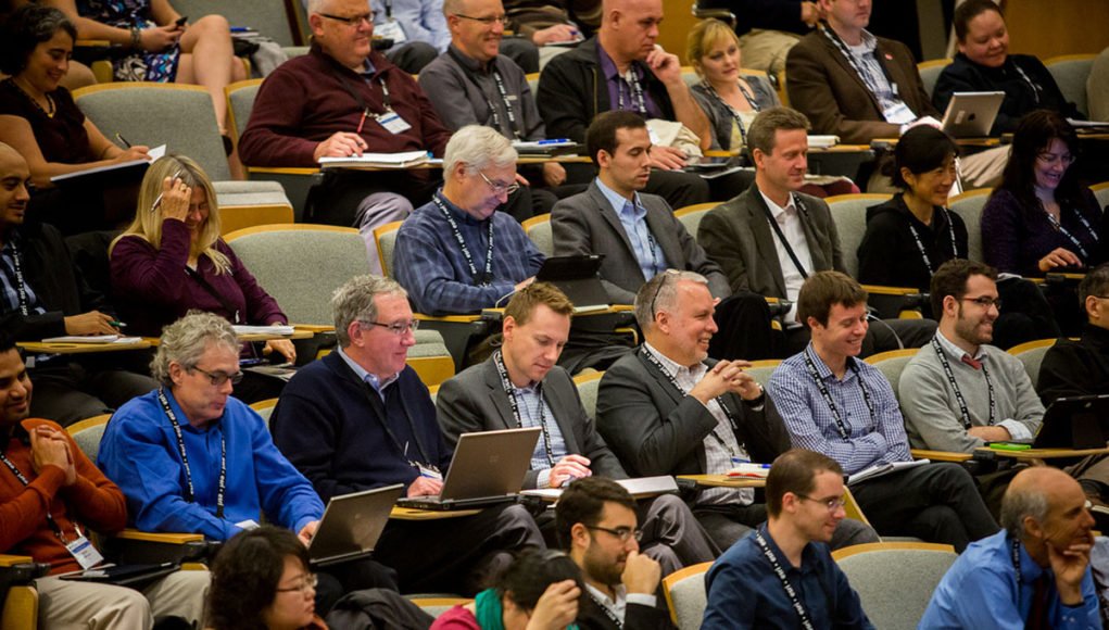
The planning process is improved by collaboration among a multitude of disciplines. Each year, the event is attended by an array of planning and design professionals:
- Architects
- Landscape Architects
- Landscape Ecologists
- Researchers
- Scientists
- Urban and Regional Planners
- Environmental Planners
- Civil Engineers
- Real Estate Developers
- Academics
- Transportation Planners
- Parks, Open Space, and Recreation Professionals
- Natural Resource Planners
- Benefits of Attending
Why attend?
The Geodesign Summit is extremely useful for people who realize that we need a new approach to planning and design, one that utilizes the power of spatial planning, 3D, web apps and maps, open data, and the Internet of Things.
You will be exposed to new technology, new workflows, and new approaches to planning that can truly transform the way you work. The breadth and depth of presentations, hands-on learning, and ample networking opportunities make this a great event to build new relationships and meet potential clients while gaining the insight that new technology brings.
For more opportunities, check our opportunities sections and subscribe to our weekly newsletters.


